University of Utah scientists have quantified a hidden source of water in the Wasatch Range, estimating that the ice body beneath Mount Timpanogos could fill roughly 600 Olympic‑size swimming pools. The discovery, made by a team that includes geophysicist Michael Thorne, glaciologist Lief Anderson, and former graduate student Bronson Cvijanovich, adds a new dimension to Utah’s water‑budget calculations and highlights potential flood hazards in the state’s arid climate.
How the ice was detected
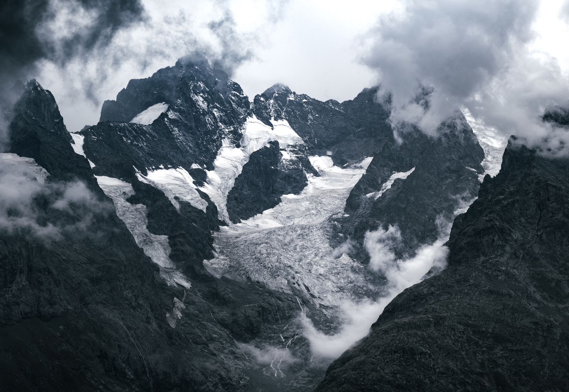
The researchers employed highly precise measurements of gravitational acceleration to map the subsurface density variations across the mountain. Rock, being denser than ice, produces a stronger gravitational signal, while areas with thicker ice generate a weaker one. By walking a sensor over the terrain and recording these subtle differences, the team constructed a three‑dimensional model that revealed an ice mass up to 150 feet thick directly above Emerald Lake.
“If you go from measuring gravitational acceleration over rock – like over the rock that makes up Mount Timpanogos, it has greater mass, greater density. But then if I walk over an area that has thicker ice, that ice has less density than the rock,” Anderson explained. “So the gravitational acceleration that we measure is actually less, and we can model the thickness of the ice beneath us.”
Implications for water supply
Because the ice is insulated by a layer of rock, gravel, and debris, it melts much more slowly than a conventional glacier exposed to the open sky. Anderson noted that this slow melt provides a sustained release of cool water during late summer, augmenting streamflow and recharging groundwater at a time when snowmelt has already subsided in the Wasatch and Uinta ranges.
“The rock glaciers are providing a sort of sustained late‑summer flow into streams and then also into the groundwater,” Anderson said. “That can be an important contribution to the watershed.” The cooler temperature of the meltwater also benefits cold‑water species that rely on stable thermal conditions.
Potential hazards and broader context
While the water resource is valuable, the concealed nature of ice‑filled rock glaciers poses a flood risk if rapid melting or structural failure occurs. Anderson referenced the catastrophic flooding in Nepal as a reminder of the dangers associated with hidden glacial water reservoirs.
“We are also seeing an increase in these really large catastrophic events related to the collapse of glaciers,” he warned. Climate‑induced retreat of glaciers, combined with increasing debris cover, can destabilize the ice and raise the likelihood of sudden releases.
Utah is estimated to contain about 836 rock glaciers, collectively holding enough ice to fill roughly 400,000 Olympic swimming pools. The team believes that the majority of ice‑filled rock glaciers are concentrated around Mount Timpanogos and Little Cottonwood Canyon, where steep slopes accumulate substantial snowfall.
The region’s seismic setting adds another layer of risk. The Wasatch Fault, capable of generating magnitude‑7 earthquakes, could trigger rock avalanches that expose or destabilize buried ice. Anderson cited a 1,000‑year‑old rock‑avalanche deposit at the Snowbird ski resort and another deposit dating back 14,000 years as evidence of the long‑standing interplay between tectonics and glacial debris.
Continued refinement of gravitational‑measurement techniques is expected to help identify additional ice‑filled rock glaciers across Utah, improving both water‑resource planning and hazard mitigation strategies.

Steve Lopez is the Editorial Page Editor for News Raise. He covers Health. He has won more than a dozen national journalism awards for his reporting and column writing at seven newspapers and four news magazines.