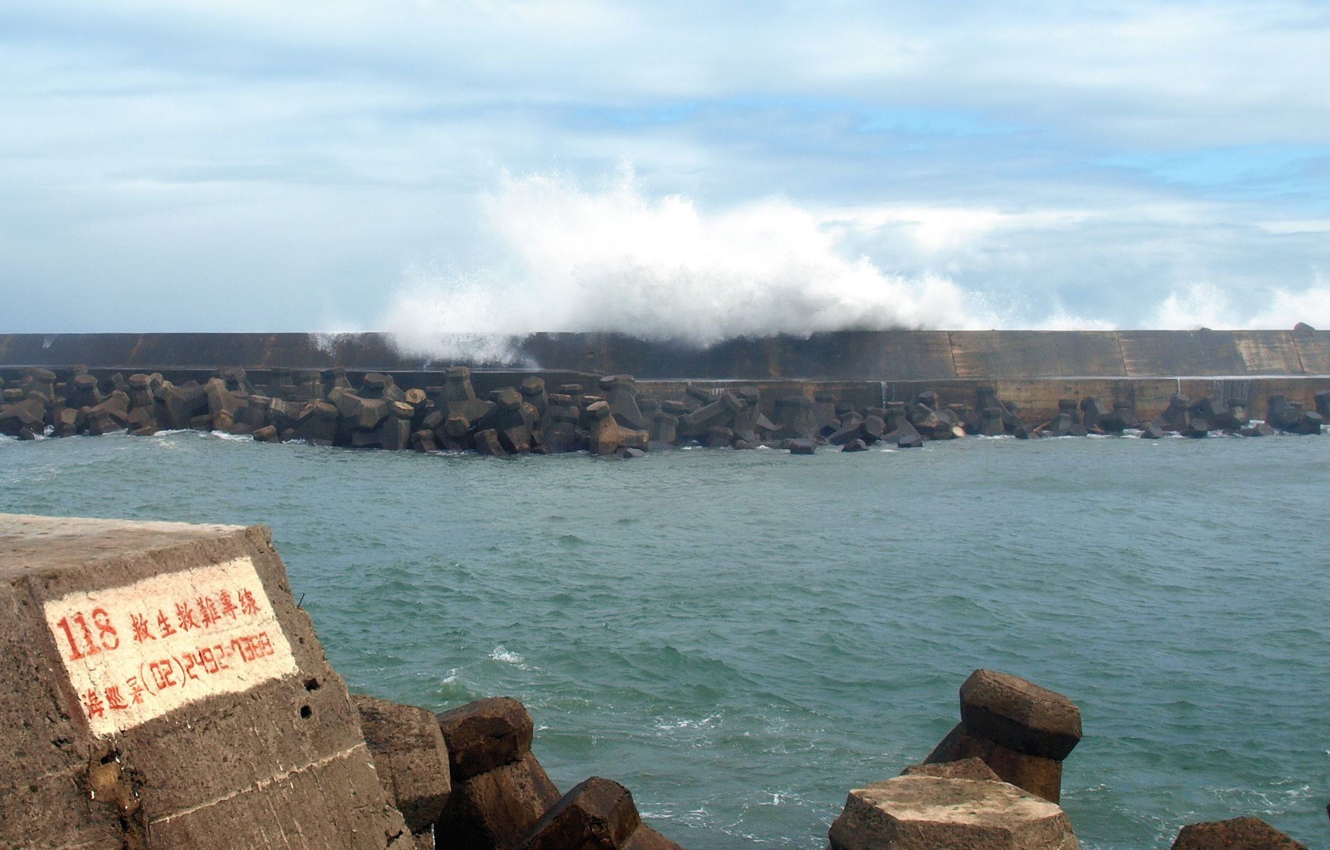
India’s east coast is bracing for Cyclone Arnab, which the India Meteorological Department (IMD) says will bring sustained winds of 150‑160 kmph and gusts up to 180 kmph while still over the Bay of Bengal. The system is moving west‑northwest at roughly 20 kmph and is expected to make landfall near Yanam early Wednesday, after which it should weaken rapidly, dropping below 100 kmph by Wednesday evening and becoming a deep depression by Thursday morning.
Forecast and meteorological outlook
At 11:30 a.m. on Tuesday, the IMD reported that Arnab was about 170 km offshore from Visakhapatnam and 180 km from Kakinada, having closed the distance by roughly 50 km since the early morning. By 8:30 a.m., the cyclone was recorded 220 km from Visakhapatnam and 240 km from Kakinada, with the agency raising its wind forecast to 150 kmph gusts. The department’s forecast table projects a brief peak in wind speed around midday and early evening on Tuesday while the storm remains over water, followed by a modest reduction before the anticipated landfall.
Beyond the immediate coast, the IMD warned of heavy to very heavy rainfall of 12‑20 cm in districts such as Puri, Gajapati, Ganjam, Rayagada, Koraput, and Malkangiri. In the southern districts of Odisha, gusts of 40‑50 kmph are expected Tuesday night, rising to 60‑70 kmph with gusts up to 80 kmph on Wednesday. The storm is also forecast to generate sea‑swell flooding along coastal villages in Kakinada district, where waves have already inundated Uppada, Konapapet and Moolapet, cutting off local roads.
Preparedness measures across states
State authorities in Odisha announced plans to relocate at least 48,000 residents from low‑lying and landslide‑prone areas by Tuesday evening. The move focuses on Gajapati and Nabarangpur districts, each accounting for roughly 11,000 people. The state has readied 135 permanent cyclone shelters and about 1,600 temporary shelters, deployed 294 rescue teams, and ordered school closures in eight districts for Tuesday and Wednesday.
In Andhra Pradesh, the disaster management authority issued a comprehensive list of helpline numbers for every coastal district, ranging from the state control room (112, 1070, 1800 425 0101) to district‑specific contacts. The state’s railway divisions in Vijayawada and Visakhapatnam placed about 600 km of track under close watch, with relief wagons stocked with repair material positioned at key junctions such as Krishna Canal, Bitragunta, Mamidipudi, Visakhapatnam, Palasa and Ponduru. Diesel locomotives, power units, ambulances, earthmovers and tree‑cutting crews were also kept on standby.
Police in Visakhapatnam closed all beaches and deployed patrols to prevent entry into the water. Five fallen trees were cleared quickly, and power was restored to four areas after brief outages. A large tree that had blocked National Highway 16 near the Tuni‑Anakapalli stretch was removed by district police and highway patrol, allowing traffic to resume without injuries or vehicle damage.
Transport disruptions and economic impact
South Central Railway cancelled 11 trains on Tuesday and Wednesday, affecting services from Hyderabad, Secunderabad, Mahbubnagar to Visakhapatnam, as well as routes to Kakinada Town, Kakinada Port and Narasapur. The special Charlapalli‑Srikakulam Road train and its return service were also called off, and the Nagarsol‑Narasapur train will terminate at Charlapalli. Passengers were urged to verify their bookings before traveling.
At Visakhapatnam’s Alluri Sitarama Raju International Airport, four Air India Express flights to Hyderabad and Bengaluru were cancelled, while four IndiGo flights were diverted. The airport advised travelers to check airline status, allow extra time, and use the airport’s website for real‑time updates.
Beyond India, Nepal’s disaster management authority placed the country on high alert from Thursday to Saturday, anticipating heavy rain, thunderstorms and strong winds after Arnab crosses the Indian coast. Provinces including Koshi, Bagmati, Madhesh, Gandaki and Lumbini were identified as most vulnerable, with the high hills facing risks of heavy snow, snowstorms and avalanches. Tourists were warned against traveling to affected areas, and residents along riverbanks were cautioned about possible flooding.
In the central Indian state of Chhattisgarh, district collectors were instructed to remain on alert for heavy to extremely heavy rain on Wednesday and Thursday. The southern Bastar region—covering Bijapur, Sukma, Dantewada, Bastar and Narayanpur districts—was highlighted for strong winds. Relief camps were ordered to stay open round the clock, and both the National Disaster Response Force and State Disaster Response Force were placed on standby.
IMD’s Amaravati director, K. Nagaratna, warned that the cyclone could inflict severe damage to farm and horticulture crops, livestock, and could disrupt rail, road and air services. Fishermen were specifically advised to stay ashore on Tuesday and Wednesday, and on‑shore and off‑shore activities were recommended to be suspended pending further assessments.
Rainfall measurements in Visakhapatnam city confirmed the heaviest precipitation in Andhra Pradesh by noon, with Tulasi Nagar Park recording about 37 mm and the 16th Police Battalion campus about 36 mm, most of which fell in the final hour before noon.






Be First to Comment